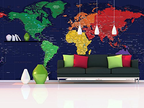
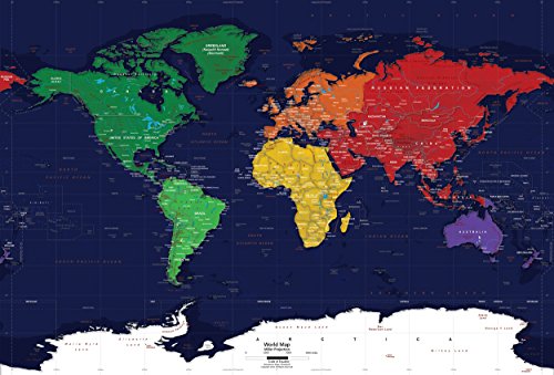
This political wall map mural features dark blue oceans with each continent identified in a single color. Political boundaries are outlined in gray. The map's simplicity makes it ideal for a child's bedroom, daycare, or classroom. It's also a highly decorative map with a unique color scheme that's perfect for the home or office. Map information includes: major cities, national capitals, political boundaries, rivers, lakes, mountain peaks, and latitude/longitude lines. The map uses the Miller Projection and is currently up-to-date with all the latest international name changes up to 2012. We offer this map in numerous sizes sizes printed on traditional wallpaper. The wallpaper is installed like any standard wallpaper wallcovering. Our wallpaper murals are printed on durable latex-based, nylon-reinforced, wet-strength paper. Ideal for commercial or residential installation.
Trustpilot
1 week ago
2 months ago
